
Makaleler
51
Tümü (51)
SCI-E, SSCI, AHCI (24)
SCI-E, SSCI, AHCI, ESCI (25)
ESCI (1)
Scopus (23)
TRDizin (18)
Diğer Yayınlar (9)

4. Unmanned Surface Vehicles Used for Water Quality Monitoring
Bilge International Journal of Science and Technology Research
, cilt.9, sa.2, ss.207-226, 2025 (Hakemli Dergi)

8. Semi-automatic Tree Detection from Images of Unmanned Aerial Vehicle Using Object-Based Image Analysis Method
JOURNAL OF THE INDIAN SOCIETY OF REMOTE SENSING
, cilt.47, sa.2, ss.193-200, 2019 (SCI-Expanded, Scopus)


19. Relationship Spectral Reflectance under Different Salt Stress Conditions of Tomato
JOURNAL OF AGRICULTURAL SCIENCES-TARIM BILIMLERI DERGISI
, cilt.21, sa.4, ss.585-595, 2015 (SCI-Expanded, Scopus, TRDizin)

22. Monitoring of land use and land cover changes by using fuzzy supervised classification method: A case study of Antalya, Turkey
JOURNAL OF FOOD AGRICULTURE & ENVIRONMENT
, cilt.10, sa.3-4, ss.963-967, 2012 (SCI-Expanded, Scopus)

28. Aksu Araştırma ve Uygulama Alanının ideal arazi kullanım planlaması
AKDENİZ ÜNİVERSİTESİ ZİRAAT FAKÜLTESİ DERGİSİ
, cilt.1, sa.23, ss.61-69, 2010 (TRDizin)
32. Relationship between spectral reflectance and water stress conditions of Bermuda grass (Cynodon dactylon L.)
NEW ZEALAND JOURNAL OF AGRICULTURAL RESEARCH
, cilt.51, sa.3, ss.223-233, 2008 (SCI-Expanded, Scopus)
35. Pamuk Bitkisinin Kantitatif Spektral Özelliklerinin ve Alansal Dağılımının Uydu Verileri İle Belirlenmesi
AKDENİZ ÜNİVERSİTESİ ZİRAAT FAKÜLTESİ DERGİSİ
, cilt.1, sa.20, ss.1-10, 2007 (Hakemli Dergi)
51. Sayısal Uydu Verileri İle Batı Akdeniz Bölgesinde Buğday Bitkisinin Spektral Özelliklerinin ve Alansal Dağılımının Belirlenmesi
TURKISH JOURNAL OF AGRICULTURE AND FORESTRY
, cilt.4, sa.23, ss.929-934, 1999 (Scopus, TRDizin)
Hakemli Bilimsel Toplantılarda Yayımlanmış Bildiriler
44
3. DETECTING LAND USE DYNAMICS BY MEANS OF REMOTE SENSING METHOD: A CASE STUDY IN ANTALYA
II.International Eurasian Agriculture and Natural Sciences Congress, Antalya, Türkiye, 17 - 20 Ekim 2019, cilt.1, sa.1, ss.257-262, (Tam Metin Bildiri)
4. AŞIRI YAĞIŞLAR SONUCU ZARAR GÖREN ALANLARIN SENTETİK AÇIKLIKLI RADAR (SAR) GÖRÜNTÜLERİ İLE TESPİT EDİLMESİ
II.International Eurasian Agriculture and Natural Sciences Congress, Antalya, Türkiye, 17 - 20 Ekim 2019, cilt.1, sa.1, ss.279-286, (Tam Metin Bildiri)
5. DETECTION OF BURNED AREAS BY SENTINEL-2 SATELLİTE IMAGES: ANTALYA KUMLUCA FOREST FİRE EXAMPLE
II.International Eurasian Agriculture and Natural Sciences Congress, Antalya, Türkiye, 17 - 20 Ekim 2019, cilt.1, sa.1, ss.198-207, (Tam Metin Bildiri)
7. ANALYSIS OF FOREST FIRE WITH REMOTE SENSING AND GEOGRAPHICAL INFORMATION SYSTEMS
International Academic Research Congress, Türkiye, 30 Ekim - 03 Kasım 2018, cilt.1, ss.1827-1834, (Tam Metin Bildiri)
32. Kumluca ve Finike Yöresindeki Turunçgil Bahçelerinin Besin Maddesi İçeriklerinin Uzaysal Dağılımları
Ulusal Tarım Kongresi, Afyonkarahisar, Türkiye, 29 - 31 Ekim 2015, ss.213, (Tam Metin Bildiri)
Kitaplar
14
Diğer Yayınlar
1
Metrikler
Yayın
114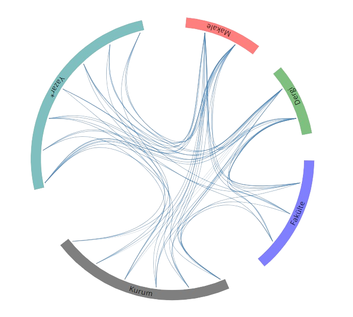
Açık Erişim
6
BM Sürdürülebilir Kalkınma Amaçları